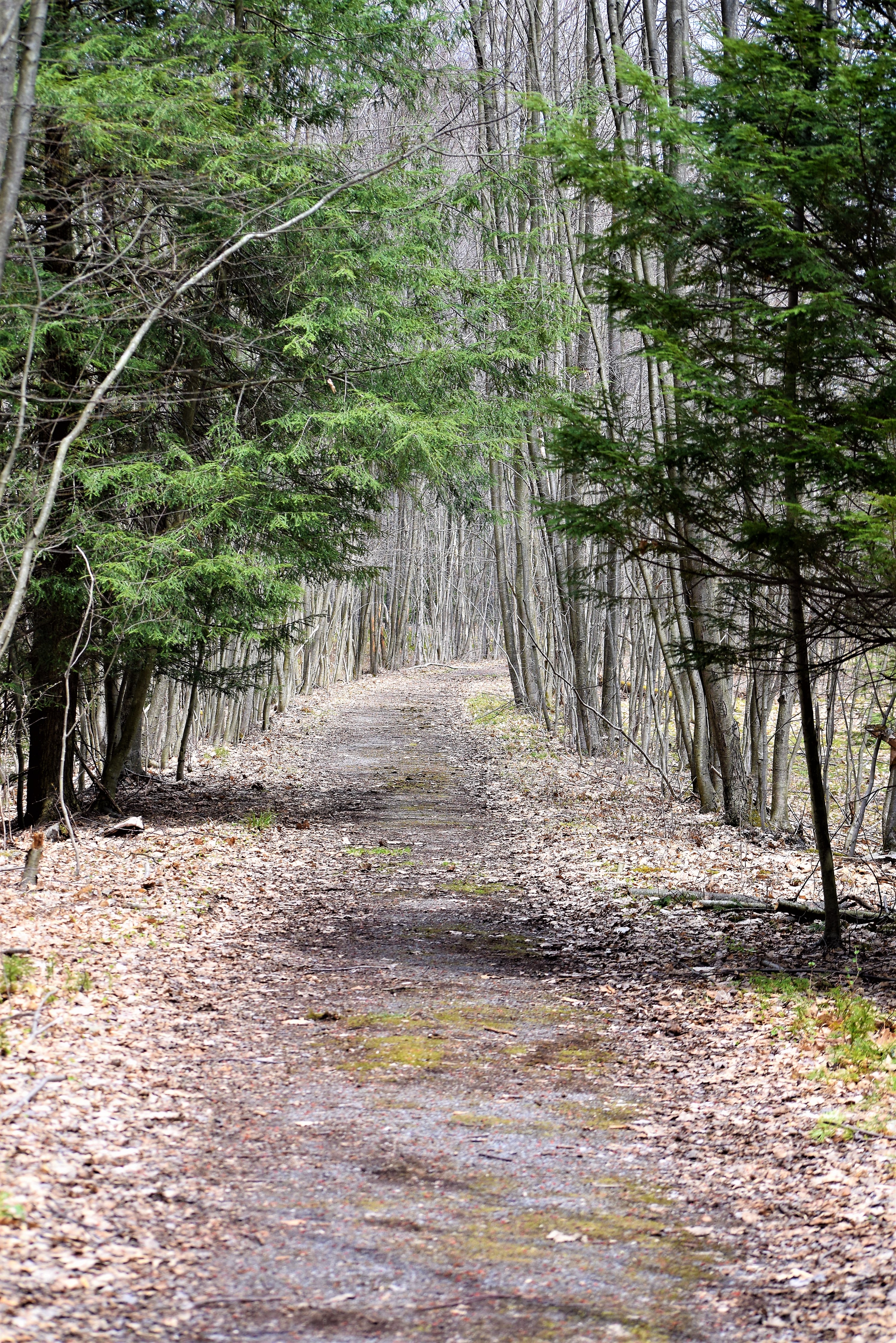
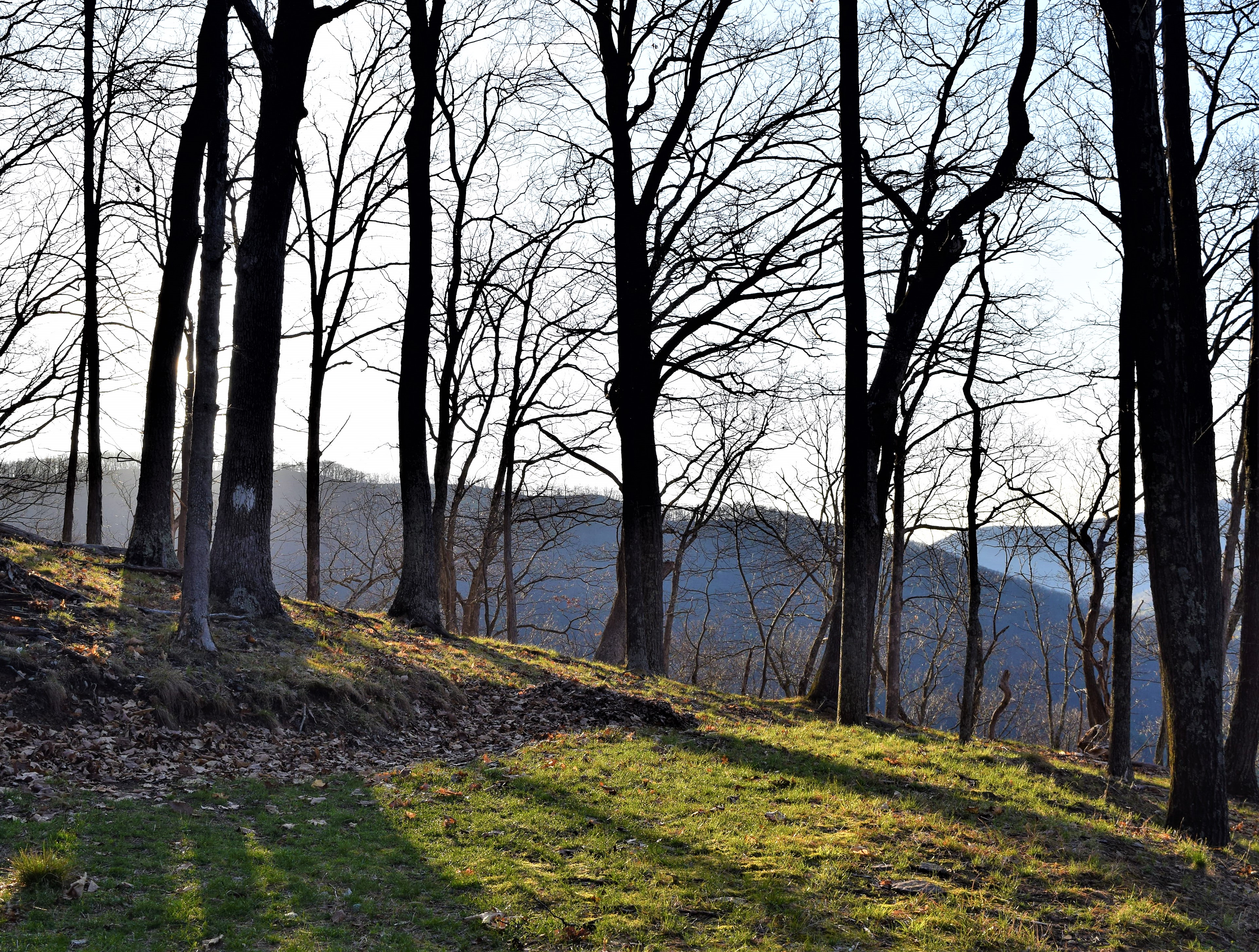
I was up early as is normal for me. My original plans was to check a property I have hunted for years, search for some morels and go trout fishing. I was not over enthused because many bordering acres had been just posted by a hunting lease. These were lands my father had me in when I was around six or seven. Many years of hunting and walking will be forever gone and that saddened me. However, I still went out.
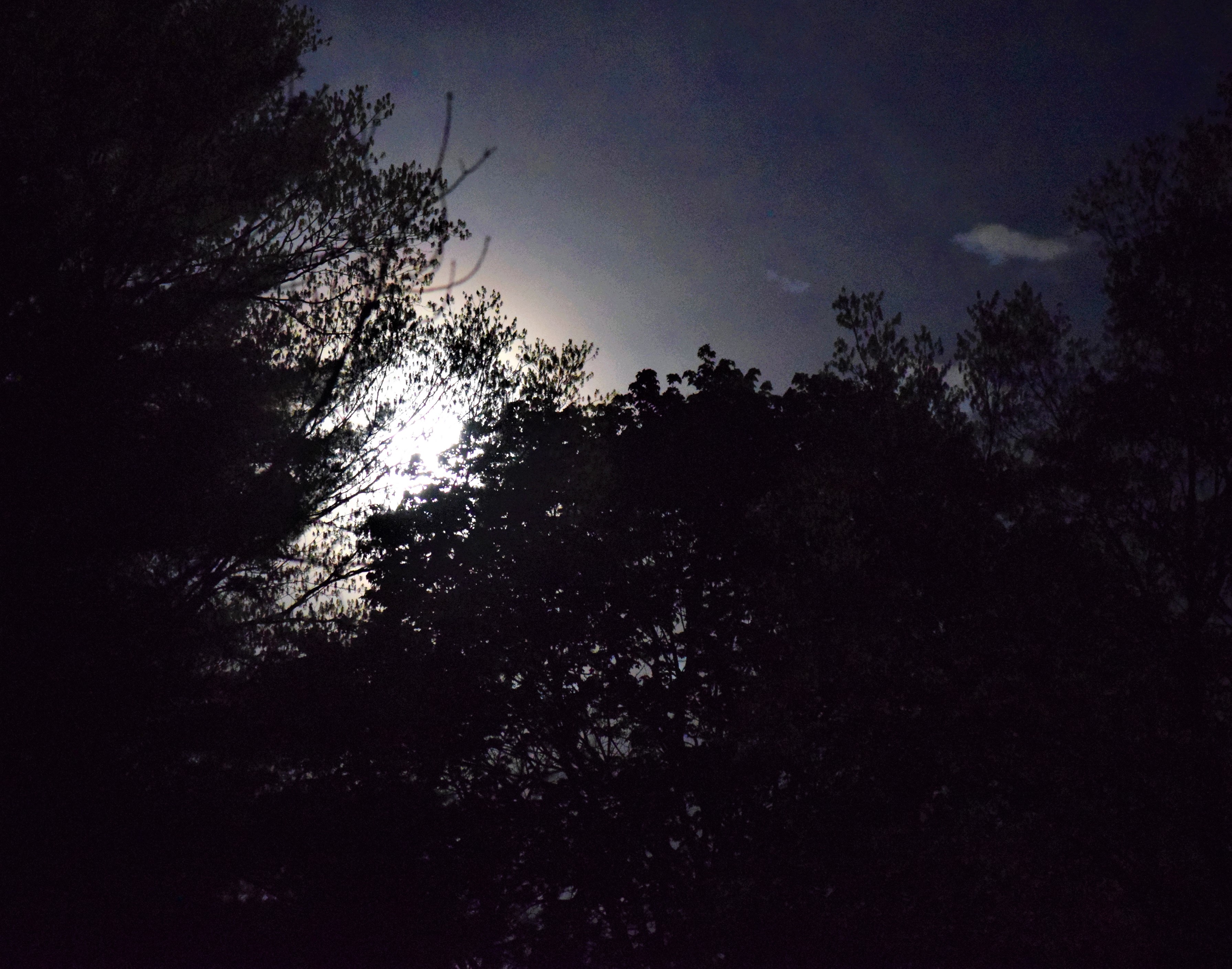
Early morning full moon.
The sky was clear and a beautiful full moon could be observed. As the skies brightened I heard one or two gobblers far off. I would end up seeing five gobblers in several places and as many, if not more hens. Deer were out everywhere!
I stopped at my mom and step father’s place to see their new truck and do some mowing.
More pics below:
I took a lot of turkey photos this morning.…and a few deer photos, as well.
The morel season is upon us. I have looked around three or four times without any success. Conditions for my area of Pennsylvania seems to be on currently for I discovered enough for a mess for myself. I hope to find more in the next couple of weeks. This day I went out in the afternoon to search for some and take photos of wildflowers and whatever I might see.
The wildflowers in the secluded hollow are out in force and I knew they would be. I wasn’t disappointed. However, finding Morels wasn’t as easy, but I finally lucked out with the first one barely visible among some leaves. I would find more in the same general area. These species of fungus are most delicious.
I saw one hen turkey and one gobbler during the trip afield.
Later, I spotted my friend Frank the Muskie, Maus and we chatted for about an hour in his garage.
Purple Trillium (Red Trillium, Wake Robin)White TrilliumSweet William (Wild Blue Phlox)White Violet
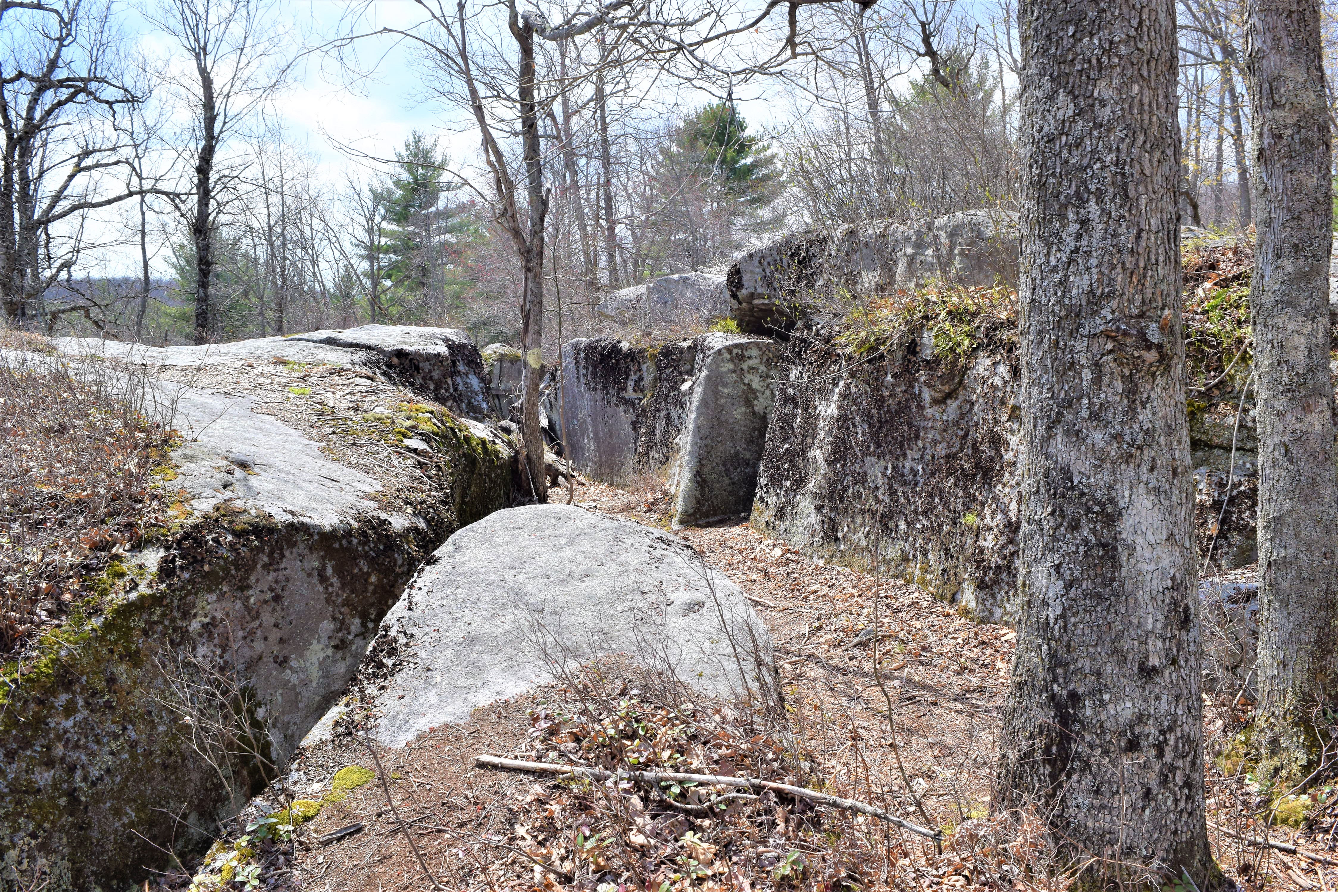
The Kune’s Hunting Camp was built in the early 1900 time frame. However, the way this camp was constructed is what makes this story very interesting. The builders of the day utilized two big boulders for two of the sides of this camp. The men brought in cement blocks and bricks to place on the two open ends followed by wood roofing.
The camp was used until 1950 when it was abandoned due to the government project listed in the previous entry about the bunkers concerning nuclear jet engines. Other camps of the area were abandoned, also.
The travel to the camp is about a mile long coming from the Quehanna Highway. A sign states of Kune’s Camp Road, but the road has been absorbed into nature allowing for a nice trail to follow.
the camp is in Clearfield County.
Note the tree growing up from the room.Inside the camp.Other huge boulders of the site.
Our last day on this adventure saw falling temperatures and falling snow.
Someone walking through sections of the Quehanna Wild Area stumbling on this might think they are being filmed for a horror movie. They might hope to not find any bodies around this place. The story of what these sites were is an interesting one. There are two individual sites with separate roads to each.
Way back in the early 1950 era, President Dwight Eisenhower and congress decided on a program called, “Atoms for Peace.” The area needed to for the government consisted of many acres in the wilderness of the Quehanna Wild Area. The goal was to create nuclear-powered jet engines. The idea was to utilize such a concept so fighter jets would not have a need to return from military events for refueling.
Hunting camps were evicted. (Watch for the coming entry on the Kunes Hunting Camp.) Many acres, in Cameron County, Pennsylvania, were obtained for this project. Roads were paved into the wilderness. The years this project operated were between 1955 and 1960. Remember, only ten years in the past the atom bombs stopped World war II. the nuclear race was in full gear by now.
In 1960 the project abandoned the nuclear jet-engine study.
Today, the paved roads are growing over as well as the areas around the bunkers and other cement remnants of those days. Many birch and aspen trees cover the property today, as well. In face we saw a Ruffed Grouse launch from these thickets. This is perfect grouse habitat now. Nature is reabsorbing the lands.
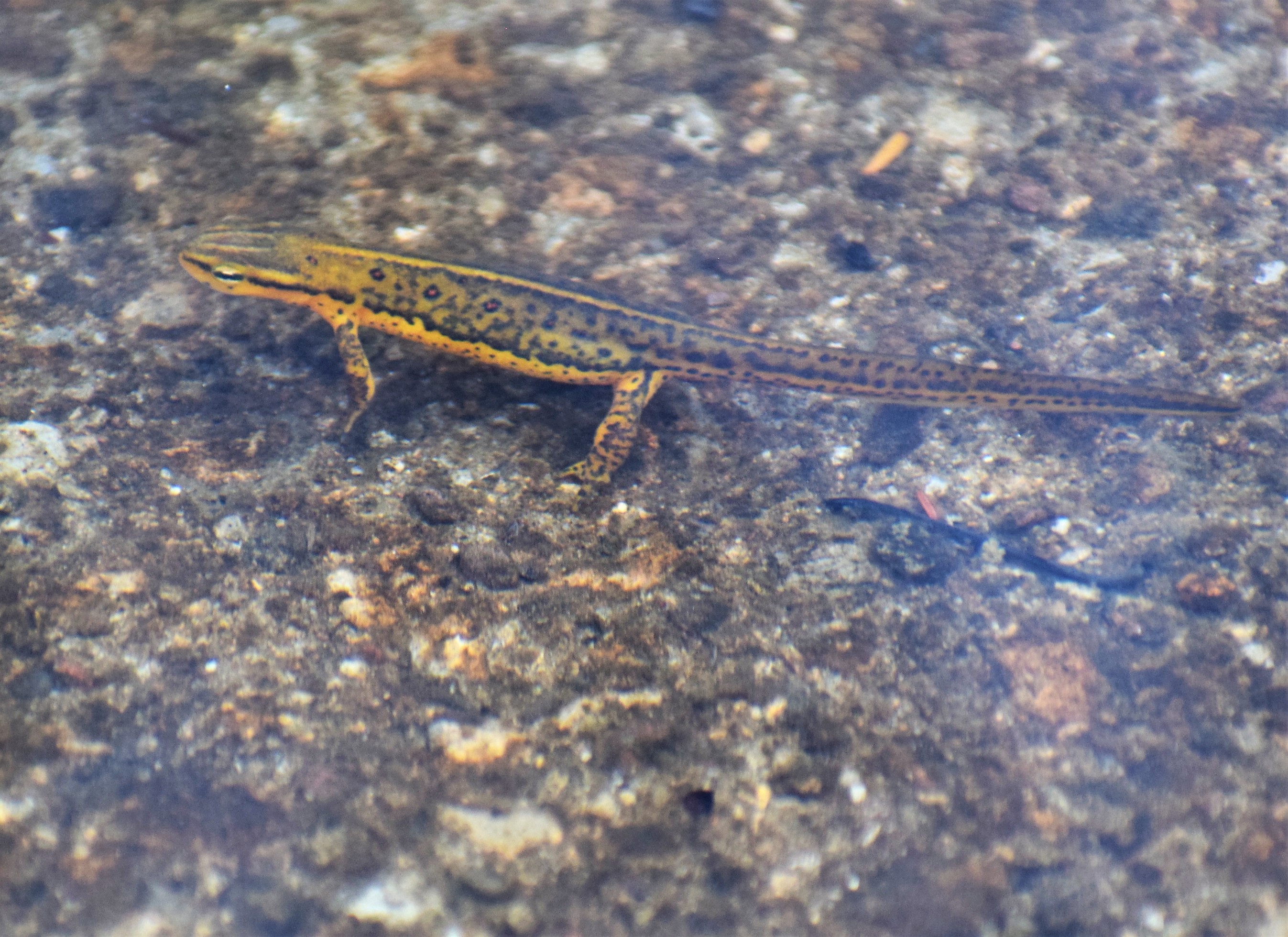
Many Elk rubs were discovered in the area. A pond yielded a number of Red-spotted Newts.
Red-spotted Newt
At some time, bat boxes were placed within these bunkers to encourage bat populations. I am unsure of any great success.
One pleasant surprise for us was the Trailing Arbutus flowers. This is a low-growing plant with sweet-smelling flowers of beauty.
Trailing ArbutusElk rubs. Many are over six feet high.One of the roads leading to the bunker sites.
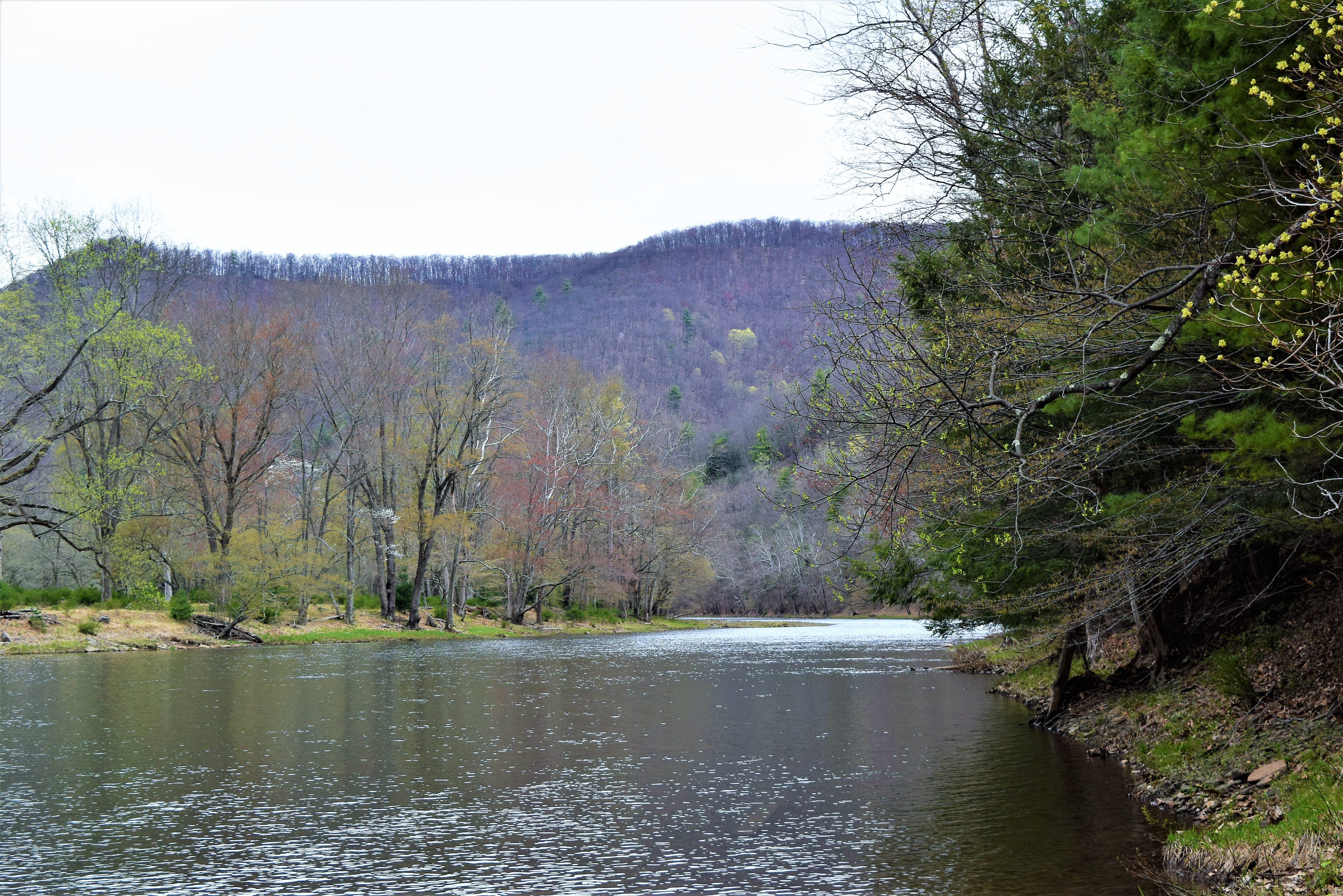
The mountain traveling and breakfast had been completed before the two if us moved east to visit the Kettle Creek area. The Alvin Bush dam controls the water of Kettle Creek. We enjoyed sightseeing some before I drifted back a small stream called, Beaverdam Run. I settled in for some time to catch the native Brook trout again. I wasn’t disappointed.
Why I enjoy fishing for these beauts is a mystery for kettle Creek has big trout in the waters. I think the reason in part may be the solitude of lack of seeing any other fishermen.
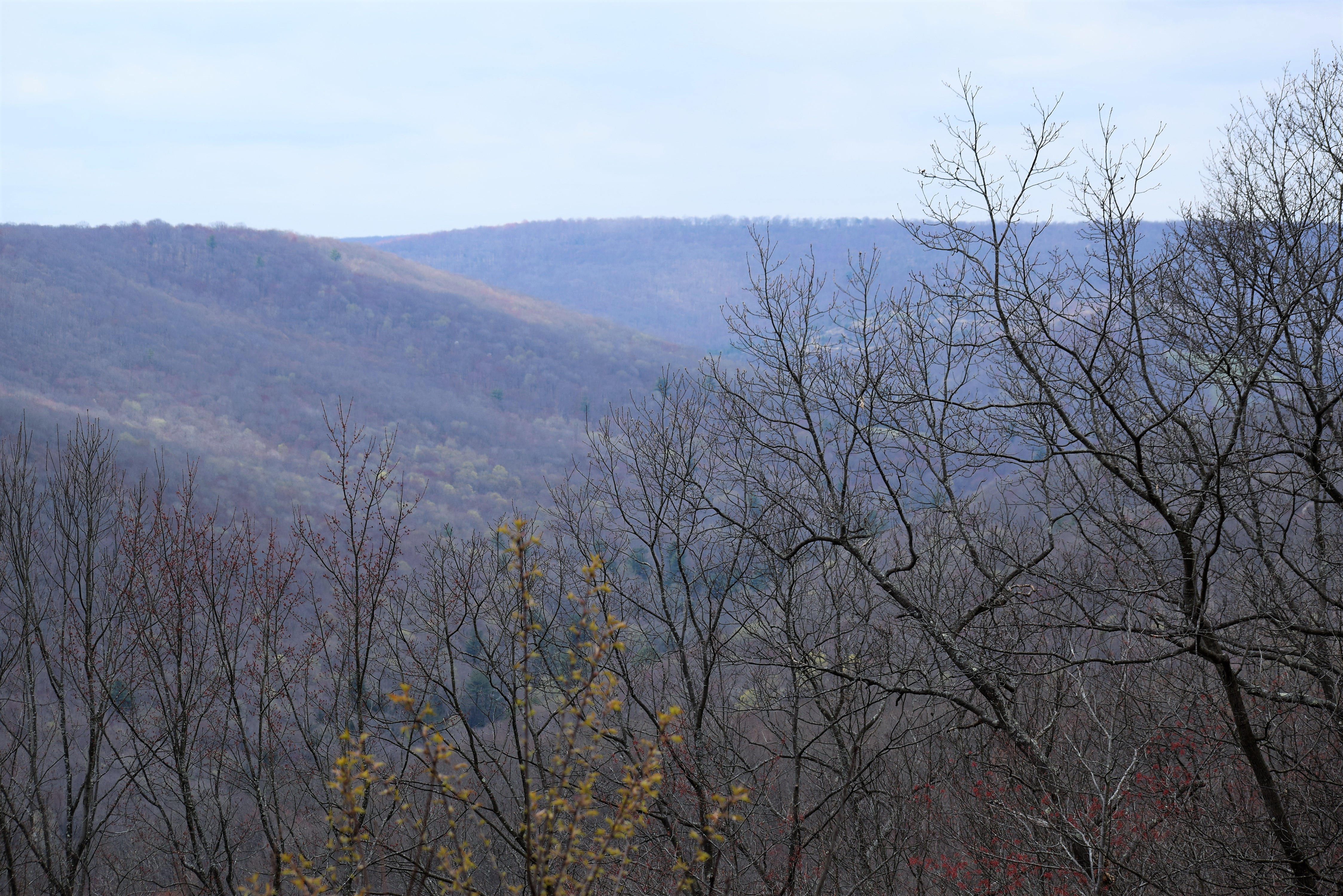
After a time the jeep wanted to climb a mountain road. On the top Laurie and I witnessed some beautiful vistas seeing for great distances.
The plan to complete the day was to return west taking Wykoff Run Road in route to the Quehanna Highway again. I wanted to take a couple of short hikes to long-abandoned bunkers and the Kunes camp. (These adventures will be included within separate entries.
Dam backwaters
We saw some hen turkeys and deer and many Turkey Vulture. I saw a Black Squirrel but failed to get any photos. We saw over fifty elk during our time north.
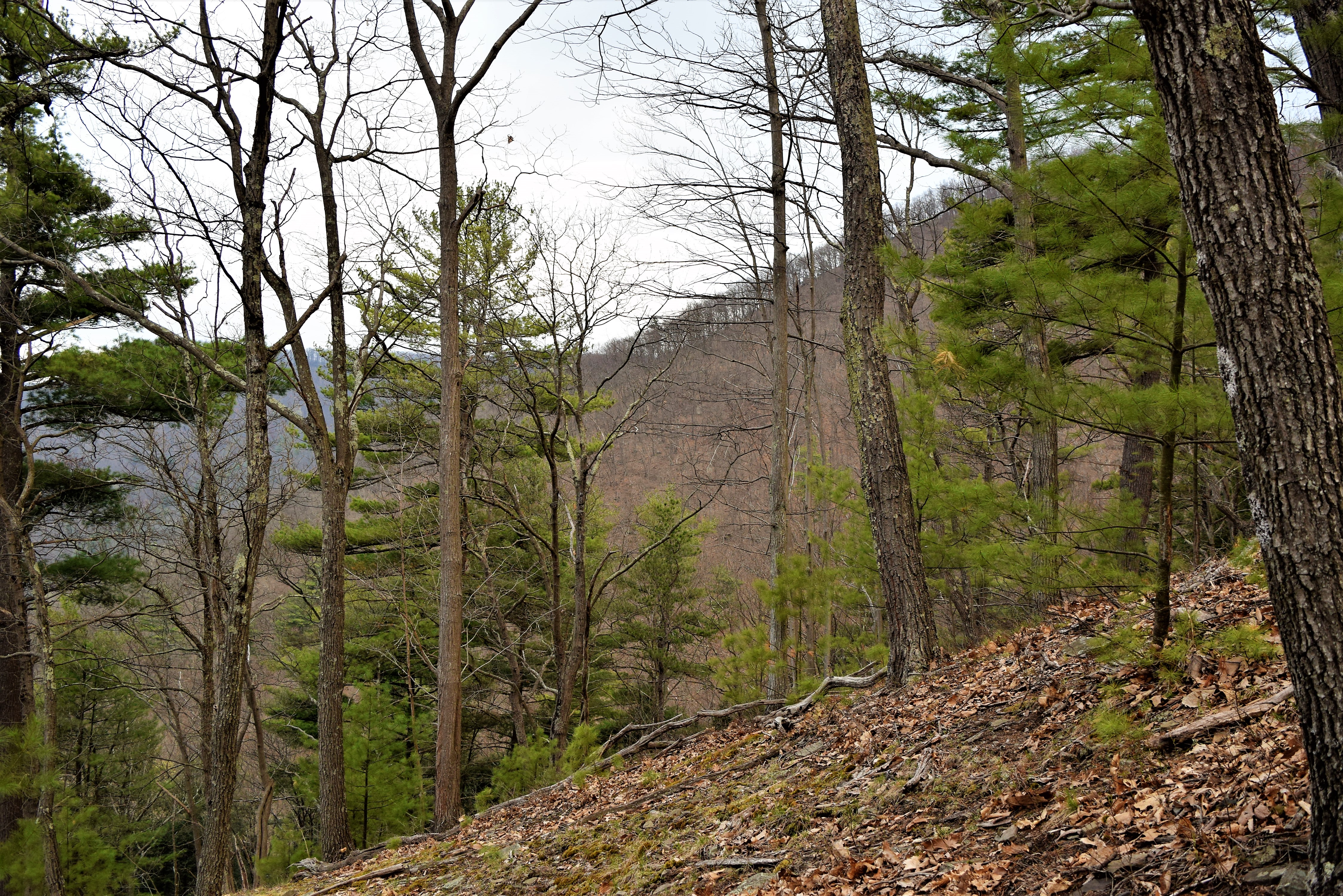
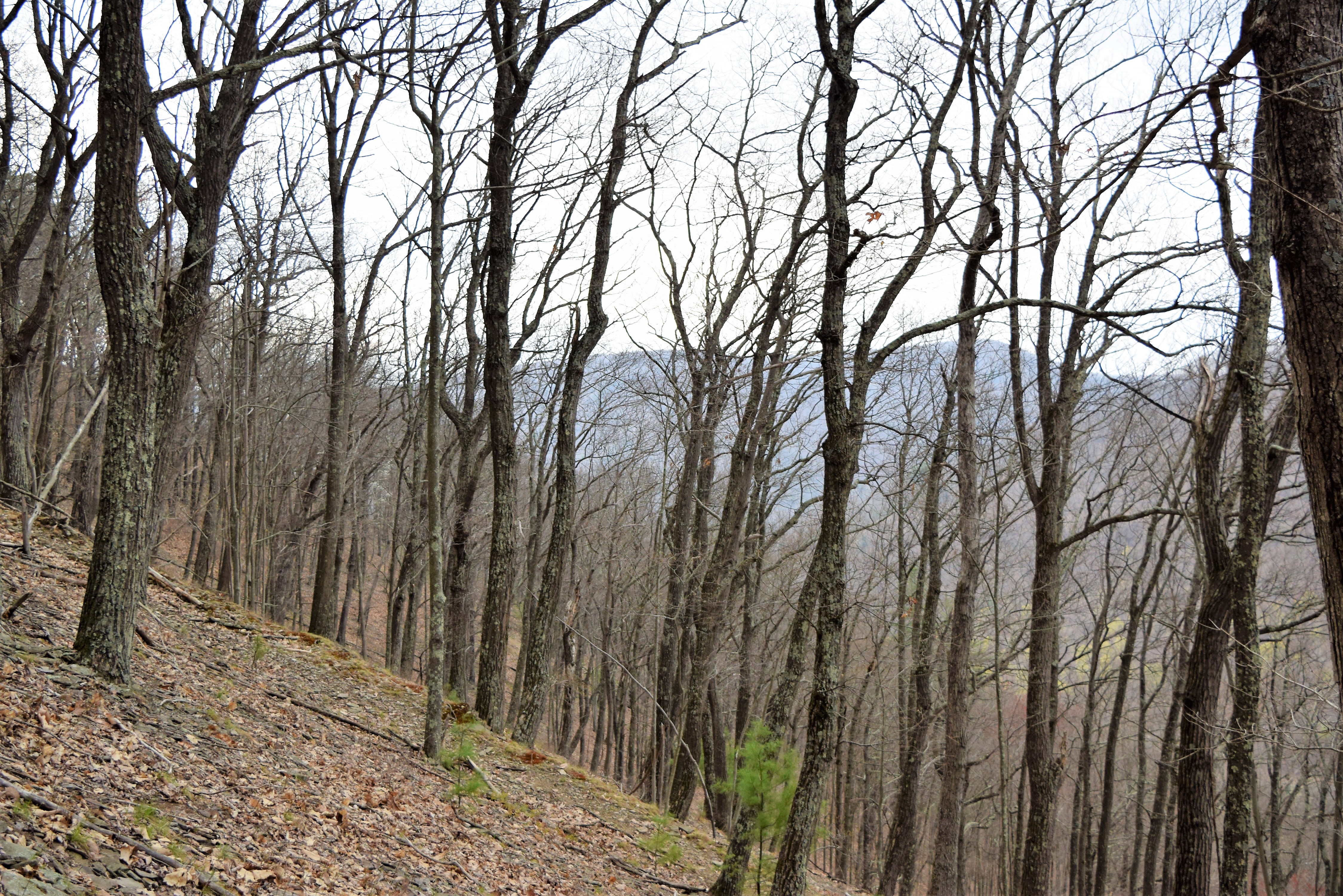
The morning of April 20 found the climbing of the mountain happening again. As before, I had a time restraint and one never knows what adventure one will find during the ascension. The two of us had plans so my time would be limited. Off I went.
A gobble exploded off in the distance. I estimated any attempt to close in for a hunt would take forty minutes. The bird was on the bottomland area on the next mountain and across the Bennett’s Branch of the Sinnemahoning. I was happy this wasn’t gobbler season. I sat for a time listening to the gobbler. Here I, also, spent some time in prayer. I moved higher always checking the time.
Again, I could see the top but was a ten minutes away from reaching. I had to turn around. I knew if I pushed to reach the top I would not want to come down the slope quickly. I would want to explore.
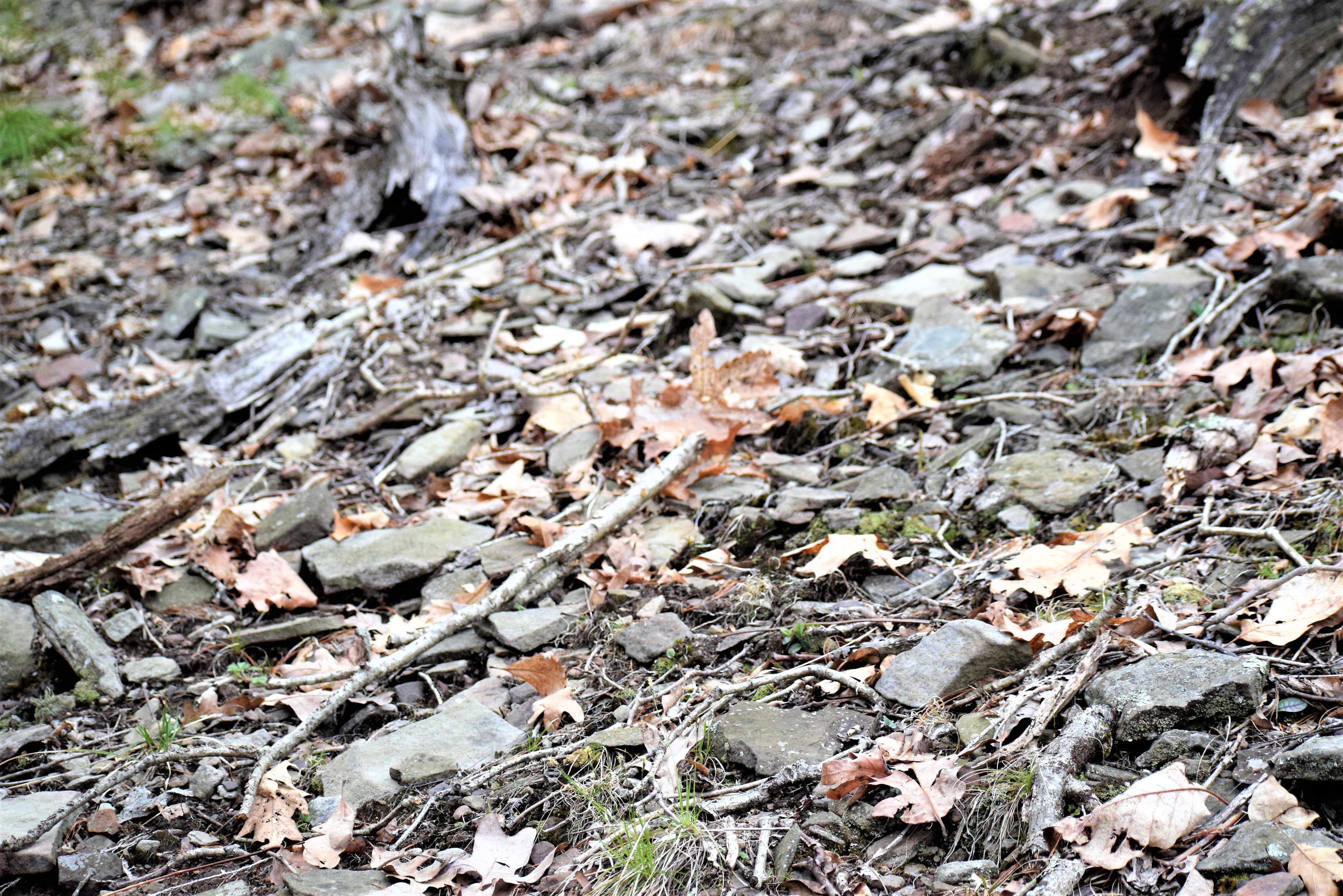
The mountain is covered with small rocks varying from four inches to a foot. Underbrush was rare. My reasoning for the rocks falls upon knowledge of the mountain’s history. Mankind of years past denuded the trees of these mountains. Also, with all the dead tree tops, fires were common. The trains would often throw out shouldering conditions causing fires. Once the ground had been devoid of trees and burned to the soil any heavy rains would quickly wash all the best top soil away exposing the rocks. Regaining quality topsoil is a very long process of nature.
ROCKS!
After our breakfast Laurie and I would be traveling to the Alvin Bush Dam area on the Kettle Creek.
Laurie and I, upon leaving the Austin Dam remains headed south on Route 872. We had a goal to spend some time at the Sinnemahoning State Park including the George Stevenson Dam area. I, also, was going to do a little fishing for native Brook Trout and whatever I can catch on the Sinnemahoning.
Laurie loves to read so any fishing I was to do would find her happy with a book. The first visit was at Brooks Run to fish for the beautiful native Brook Tout.
Native Brook TroutBrooks Run
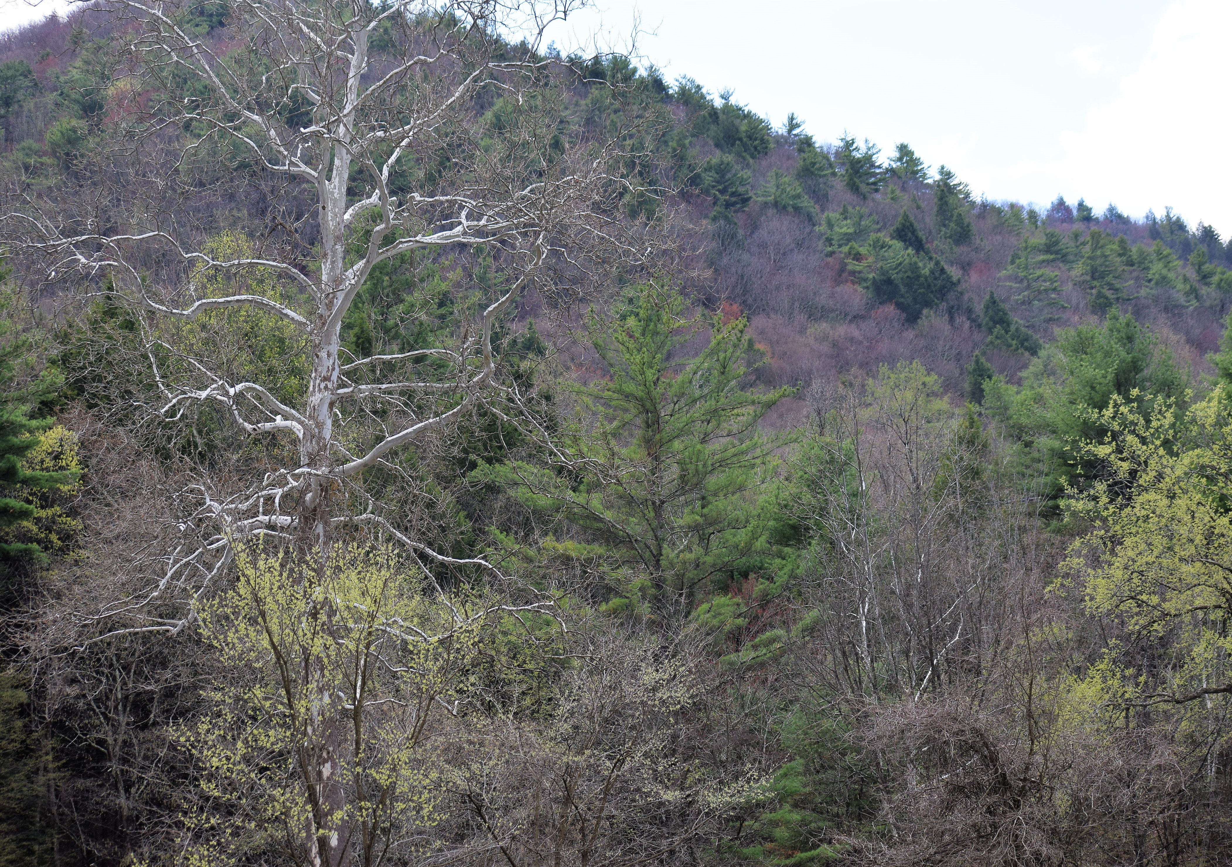
Those who know me understand how I am in awe in the Sinnemahoning Area of Pennsylvania. I never tire of viewing the high and steep mountains and those deep and shadowed hollows. I am always amazed as to how those men in the nineteenth century were able to denude all those mountains of virgin trees. Today, the beauty is back in force.
After the Brooks Run fishing we went to the Stevenson Dam area to fish a little more. I caught many Yellow Perch as Laurie sat on a bench along the shore to read. I walked upstream to explore. Personally, I enjoy the exploration as much as fishing. There were many Canada Geese and Common Mergansers using the water.
Laurie and I saw two mature Bald Eagles along the Sinnemahoning. One beautiful bird allowed my approach as I clicked away. I just have to include some of those pics here.
After the fishing and exploration halted the hiking began. But first we stopped of the famous “Arch Tree” farther upstream. Laurie had not ever seen it. This image appears on many sites. People seem to find a lot of enjoyment posing with the tree. Unfortunately, I see some decay on the tree. One can only guess how long the tree will survive. It could be many years.
Arch Tree
As what always happens the time to head back to the lodge comes much too quickly. I am including a few more photos below of the Sinnemahoning area.
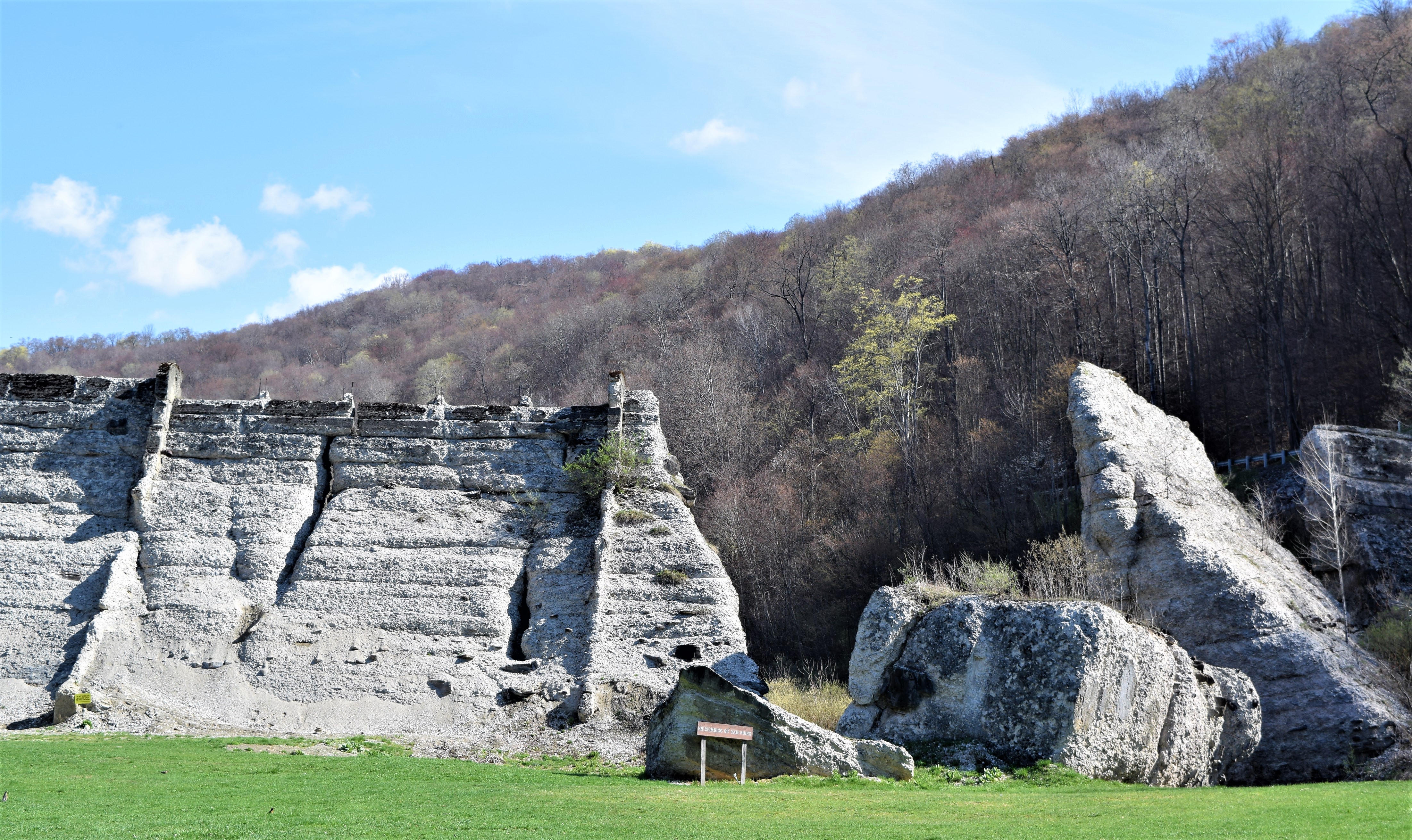
I had been past the remains of the dam on several occasions, but for whatever reasons, I couldn’t stop. This morning, Laurie and I were going to visit the site of the Austin community in Potter County, Pennsylvania.
The original dam was built in 1909 after a local paper mill owner realized he hadn’t enough water to operate his paper mill just north of the community during especially dry seasons. The dam was constructed across the Freeman Run Valley to solve that problem. The concrete dam was fifty feet high, five-hundred and forty feet long across the valley and twenty feet thick. Plans called for a thirty feet thick structure. The twenty feet thick dam was constructed to help save costs. Problems were quickly discovered.
The problems of cracking concrete was spoken of natural due to the concrete curing process.
South of the dam was a community of about three-thousand people. The area was known as Austin.
In September of 1911, heavy raids had been occurring and the dam was reaching a crisis level. A young girl reported within the community the warning of failure. many people responded, but others didn’t for whatever reason. It is quite probable not everyone heard the warning.
On the thirtieth of the month the dam failed allowing a wall of water to explode its way south smashing into Austin, Pennsylvania. Seventy-eight people perished.
There is an Austin Dam memorial Park present at the dam’s site.
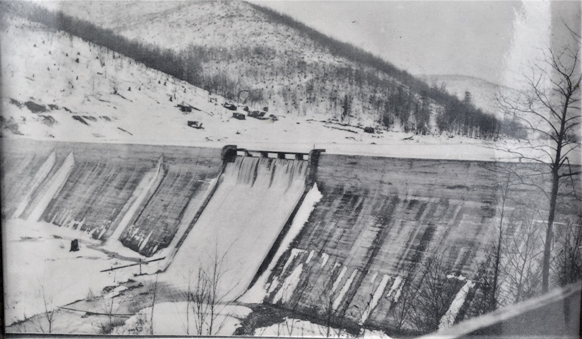
Old photo of the dam prior to the collapse.
A new dam was built in 1942 and it failed also. The photos here are of the original dam site.
I discovered some beauty above the site with the wildflowers of the Marsh marigold and trout Lily.
Marsh MarigoldTrout Lily (Other names are the Dog-tooth Lily and Adder’s Lily.)
I arose early deciding to climb the mountain behind the lodge we were staying. I gawked across the Bennett’s Branch of the Sinnemahoning just in time to see an early rising bald Eagle fly high and above the waters. Actually, I was high enough to be looking down upon the bird. The mature eagle looked so elegant. Four, then six, deer walked alongside my position about the same time as the flying eagle. the deer continued along slowly assuming my presence to be peaceful. I glanced down slope and saw, at least, three more deer moving through some thicker pines. I would see additional deer as this time moved forward.
I went into the lodge to see Laurie was awake. I told her my plans and she said breakfast should be around eight o’clock. Off I went to begin the ascend.
The shadow on the distant mountain is from the mountain I am standing on.
I followed old logging trails at times. These trails often went diagonally upslope in a zig-zag method. Even so the mountain was steep! My hopes was to reach the top in a timely manner, also I wanted to capture photos of the rising sun against the mountain tops. The hollows in darkened shadows against an illuminating sunrise can make for great photos.
The summit was in sight when two large birds flew into a tree about a hundred and seventy-five yards from my approach. They were silhouetted against the brightening skyline. I believe they were eagles, but I never saw either bird well enough to identify.
I continued at that angle to come upon a very steep hollow. At this time I realized the timing would not allow additional climbing, although I believe fifteen minutes would have made the top possible. I would need to begin my descension.
Going uphill was bad for someone of my age, however, going downslope would be painful on the knees. The hillside was covered with rocks and very dry leaves in places. Either could cause me to head downhill faster than I would like. In fact, I did fall once.
Besides the Bald eagle, deer, possible eagles, I would see two pairs of Canada Geese.
I captured many photos of the sunrise and contrasted mountain tops. Some are included here in this entry.
Laurie and I had planned some time away and we scheduled four days at the Bull Elk Lodge near Driftwood, Pennsylvania. The lodge’s website is: http://www.bullelklodge,wixsite.com .
We left early to travel to the lodge and as I generally do, we moved across back country roads of the Quehanna Wild Area. We stopped at the Shagger’s Inn Shallow Water Impoundment to see how the Ospreys were doing this. At this site I didn’t know what to expect for I had heard the Osprey nesting platform had collapsed. However, two nesting platforms were added farther down from the water. Two Ospreys were using the one platform. I moved across a wetland to close the gap for photos. I stopped once the water began to become worrisome for getting wet. We saw Canada geese, mallards, Wood Ducks and Common Mergansers at the water.
Osprey at nesting platform
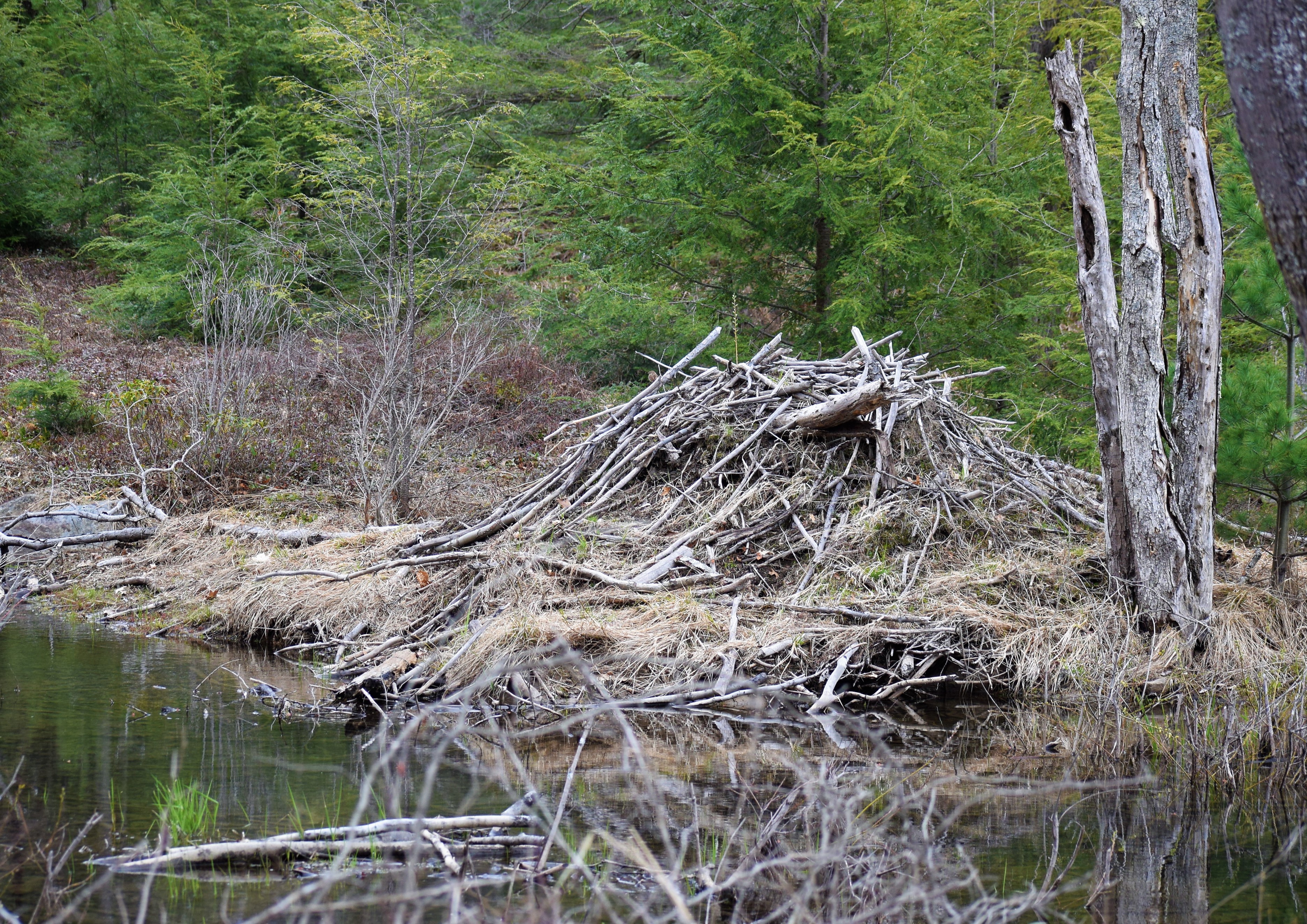
As we drove the back roads we saw a Beaver dam and lodge. Of course, I have to get out and take some photos. WE continued on and visited the Beaver Run Shallow Water Impoundment where we saw another Osprey on a nesting platform. The last time I was here the water had been drained. We saw 15-22 elk while we traveled.
Beaver Lodge
Upon arrival we met with the owner of the above-mentioned lodge. Marcy has become a friend to us. She is a delightful person and Laurie and I have been honored with her friendship. We were the first to spend time at Bull Elk Lodge last year when she first opened it up for stay. We met her latest addition too. The German Shepherd pup named Cheech was full of energy upon greeting them all. Max, the little dog, was just as eager to say hello to us.
After we had settled in I went for a walk along the Bennett’s Branch of the Sinnemahoning anxious to see anything of interest. I immediately spotted some Common Mergansers on the water. As I explored around I saw, what appeared, to be deer hair along the shore. I assumed a deer may have been hit on the road and headed to the water and died. As I approached the hair became white feathers. I expected a male Common Merganser may have become a meal for a bald Eagle. I was wrong! The dinner had been a Red-Tailed Hawk. I am still assuming a Bald eagle killed the hawk.
Red-tailed Hawk feathers and parts.
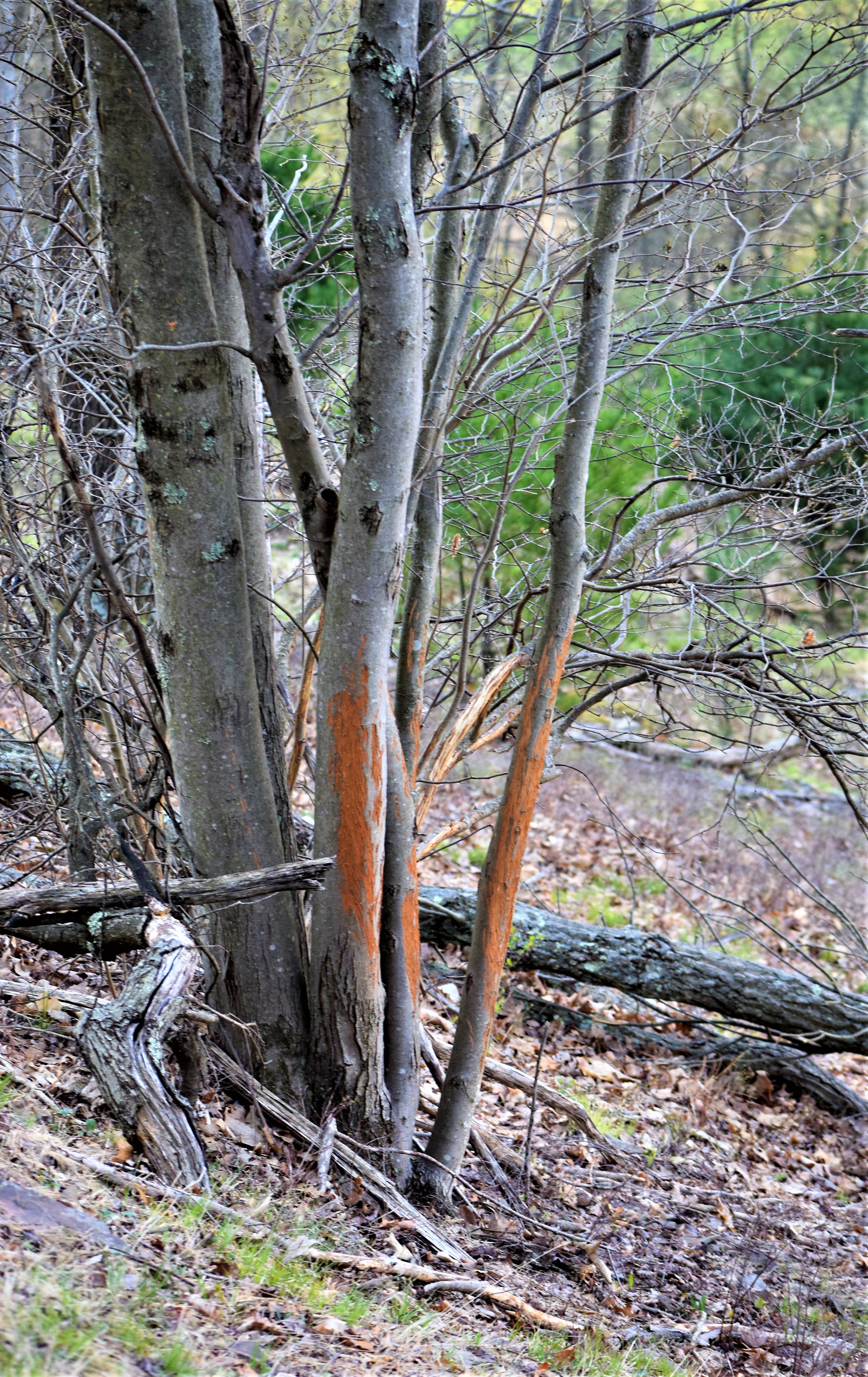
I walked east along the branch along a remnant of an ancient logging road. I could see where workers had placed rocks many years ago over a ditch to make the road more level. To my right a 90 degree vertical, rocky cliff was present entirely. I could not even think of climbing this area. This road remnant, apparently, is used much by the local Elk population for droppings and antler rubs are everywhere. Across the creek I saw two deer. They were enjoying the greener, bottomland grass.
Rocks laid to make old road.Elk droppings
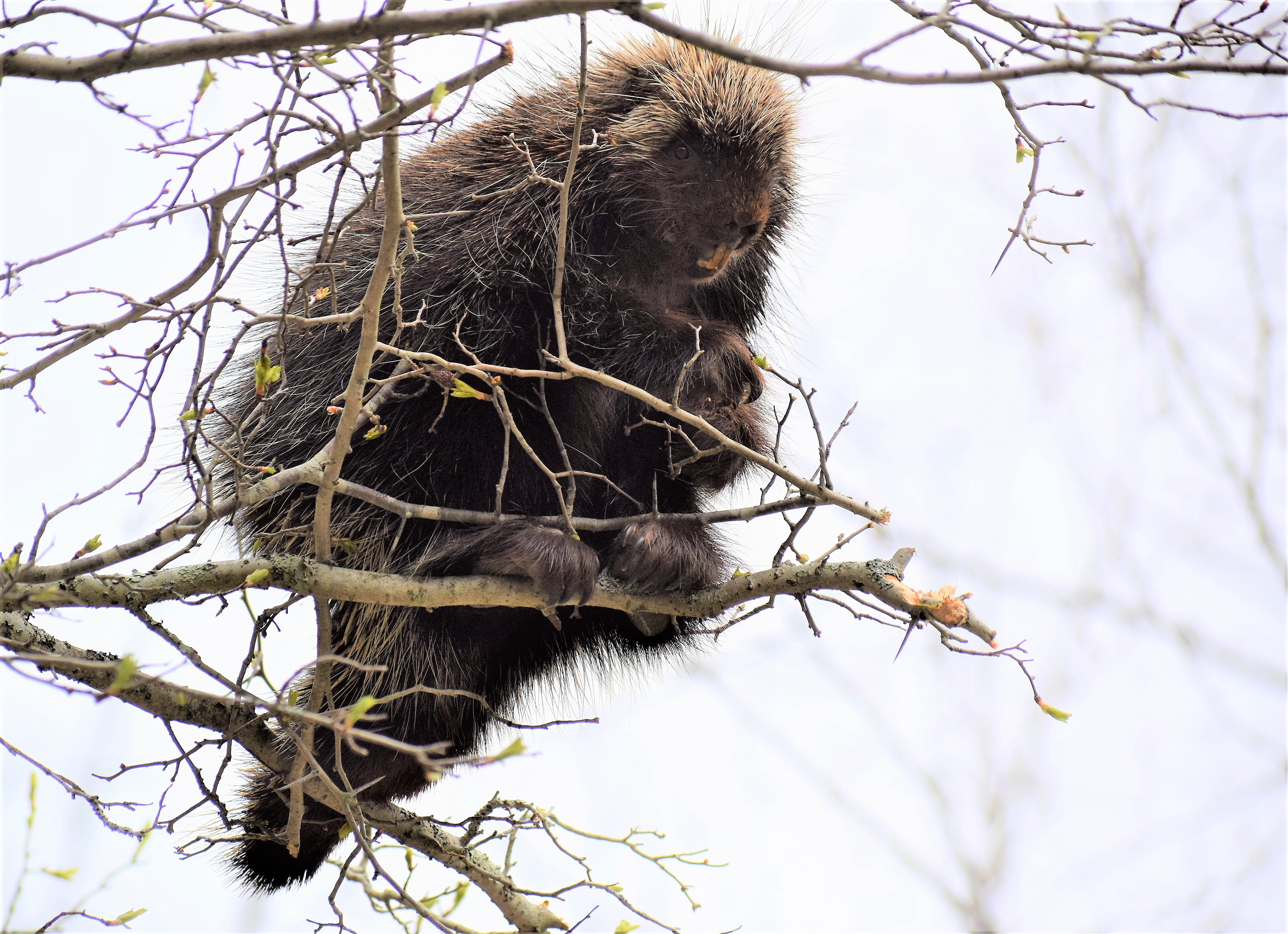
As I continued along I saw a Porcupine about twelve feet in a small tree. I shook the trr some, but the mammal didn’t care a bit. I could have shaken him out of the tree if I had wanted.
Porcupine
I came upon a log diagonally across this old road. I noticed the leaves on the one side, but I didn’t realize the leaves had blown in against the log and filled in a depression in the ground. I stopped onto the log and stepped into the leaves falling head-first. The depression was two feet deep and filled with leaves. I gathered my senses and brushed myself off and moved about thirty yards farther and began to checking for things. I realized my one camera lens was not in my shoulder bag. I returned and frantically began to search eventually crawling into the depression. I found my lens. Relief!
I removed a few ticks from my clothes disposing of them all….But one! Later in the evening after I showered I found one of those despicable critters in my neck. That totals three embedded ticks in seven days for me.